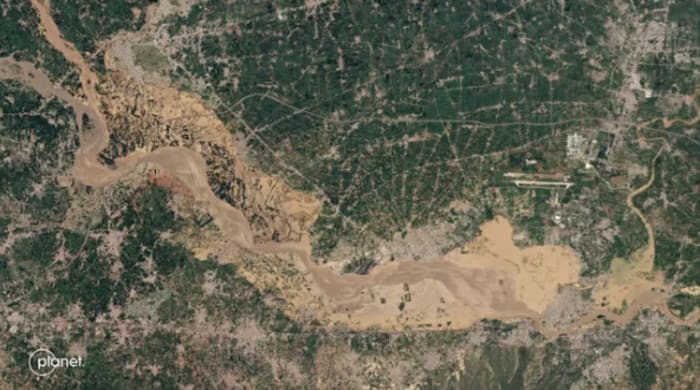
MIT developing AI tool to predict flooding with realistic satellite images December 27, 2024 By admin Scientists at MIT are developing an artificial intelligence (AI) tool that generates realistic satellite images to illustrate potential flooding scenarios.